Our Services
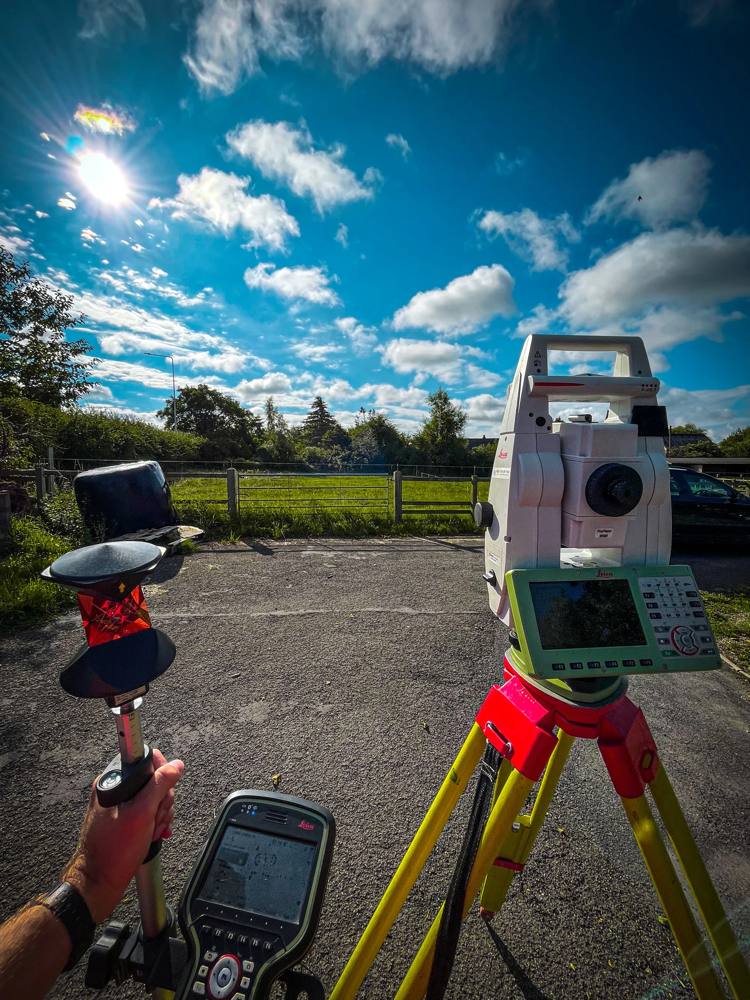
Topographic And Measured Building Survey
A topographic survey is like creating a detailed map of your land. We use specialist equipment to measure its features such as elevation, slopes, and existing structures. This helps you understand the land better for planning, construction, or development projects.
Drone Survey And Inspection
We use advanced drone-mounted photogrammetry payloads to produce high-precision 2D ortho mosaics and detailed 3D models. This technology enables you to gain accurate, unparalleled insights for effective planning and visualisation.
Our inspections deliver comprehensive visual data, helping to identify potential issues, monitor asset conditions, and enhance safety protocols across your projects.
Volumetric Analysis & Earthworks Planning
We combine advanced drone technology with traditional survey equipment to provide precise volumetric measurements and accurate cut and fill calculations. Our drone surveys capture detailed 3D models for stockpile measurement, excavation, and earthworks, while traditional survey methods ensure the highest level of accuracy. This dual approach allows for efficient earthworks planning, monitoring material volumes, and optimising construction site management.
Stay up to date with our projects
Contact Us
Thank you for considering Sharp Survey Services.
Please fill out this form and we’ll be in touch with you promptly.


